Red Lion Gallery
paintings and drawings by Guy Ottewell
HOME
Contact, questions, comments, orders
Books and more: Universal Workshop
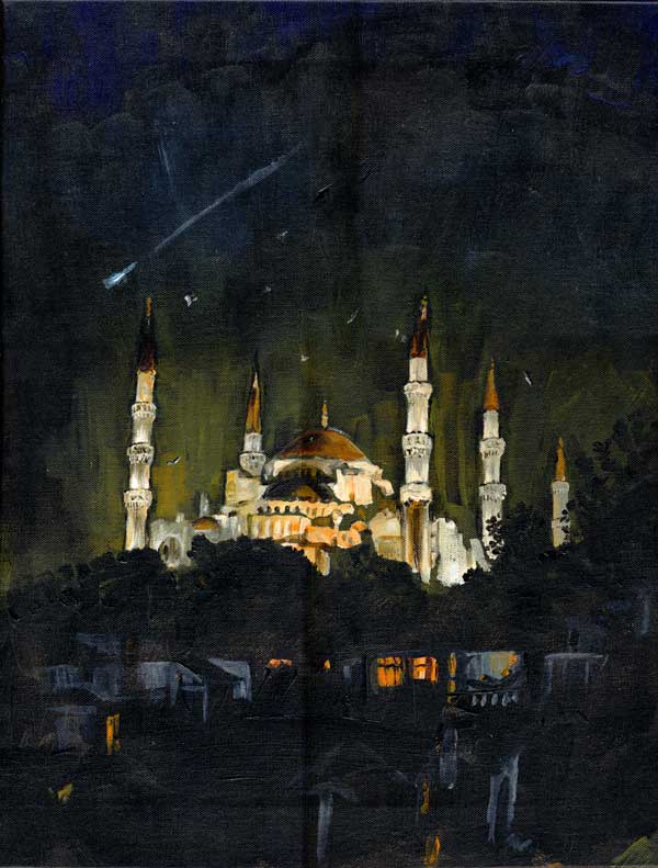
Sultan Ahmet mosque, Istanbul. with a Perseid fireball
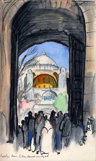
Hagia Sophia seen through the portal of Sultan Ahmet
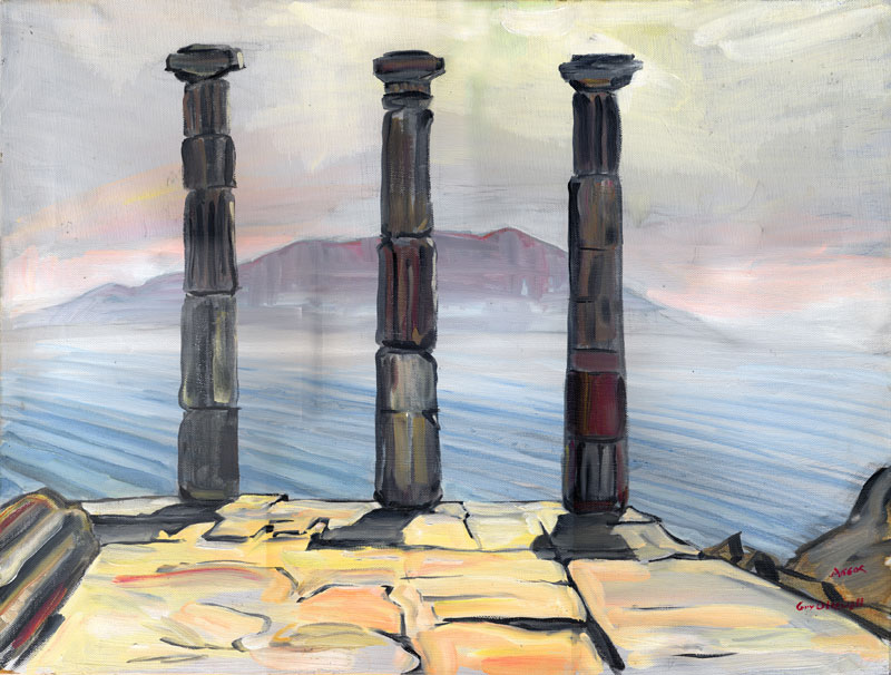
Assos, looking over the gulf to Lesbos
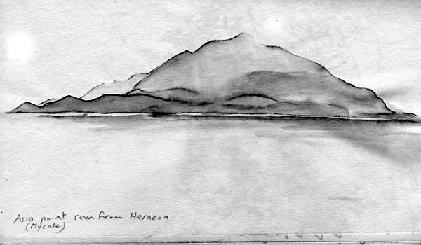
Mycale from Samos
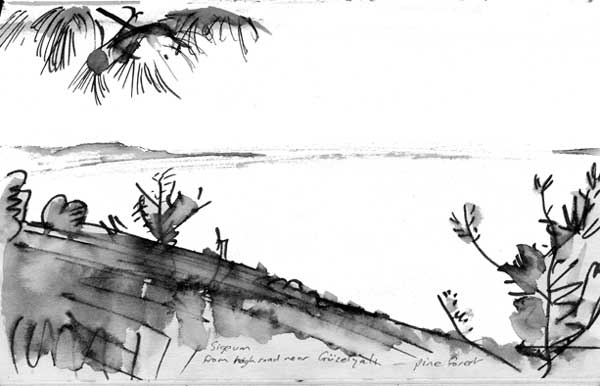
Guzelyali on the way to Troy
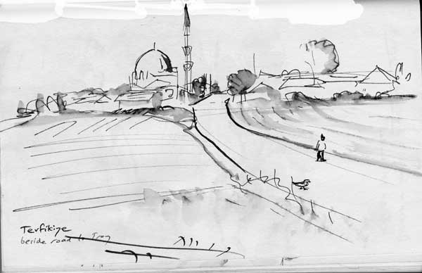
Tevfikiye just before Troy.